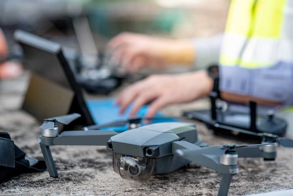
Aerial Mapping & Orthomosaics
High-resolution orthomosaics and aerial mapping for complete site visibility.
- Site overviews
- Aerial mapping
- Existing conditions
- Visual records
OUR SERVICES
We provide a complete range of drone survey services for civil engineering, groundworks and infrastructure projects.
From initial site surveys to ongoing progress monitoring and volumetric analysis, our services deliver accurate data that supports better planning, management and reporting.
Drone surveys provide more than aerial imagery. They create accurate site records, improve project visibility and help teams access information quickly and efficiently.
Accurate survey data you can rely on for important decisions.
Quick delivery to keep your projects moving forward.
Surveying sites safely and efficiently with minimal disruption.
Clear outputs and reports that support better project outcomes.
A practical team that understands your project needs.
Our services are designed to provide project teams with accurate information at every stage of a project.
High-resolution orthomosaics and aerial mapping for complete site visibility.
Detailed topographical data to support design, planning and analysis.
Accurate volume calculations for stockpiles, excavations and earthworks.
Track project progress over time with consistent, repeatable aerial surveys.
Visual inspections and clear reports to highlight issues and track performance.
Data delivered in the formats you need, ready to integrate with your workflows.
Five reasons project teams across the UK choose us for civil engineering and groundworks surveys.
We work exclusively across civil engineering, groundworks and infrastructure projects across the UK every single day.
Survey-grade drones, RTK and PPK positioning, and specialist processing software calibrated for accurate results.
Standardised workflows and rigorous quality checks deliver outputs you can trust for measurement and reporting.
A named point of contact, clear scopes and straightforward updates from your first call through to data delivery.
We treat every survey as part of your wider project, focused on outcomes, programme and commercial certainty.
Knowing when to deploy aerial survey support is often the difference between catching an issue early and discovering it on a valuation.
Capture a baseline of existing site conditions before any works begin — protecting you commercially and informing the construction phase plan.
Schedule recurring flights during muck-shift and bulk earthworks to validate cut/fill volumes and avoid lorry-load disputes.
Align surveys with valuation dates so QSs and contracts managers have independent evidence to support applications and assessments.
Produce a clear visual and topographic record at PC for client handover, defects management and future asset reference.
Each output is matched to how your engineers, planners and commercial teams already work — no proprietary viewers required.
Our team will help you choose the right survey service to meet your project objectives.
We provide aerial mapping, topographical, volumetric, progress monitoring, site inspection and data integration services for civil engineering, groundworks and infrastructure projects.
GET IN TOUCH
Complete the form below and we'll get back to you shortly.
Speak to our team today and discover how our services can help you plan, manage and deliver with confidence.