ABOUT SURVEY DRONES
About Survey Drones
Survey Drones provides specialist drone survey services for civil engineering and groundworks projects across the UK.
Our focus is simple: deliver accurate aerial data, clear reporting and practical project intelligence that helps project teams make better decisions.

OUR STORY
Why We Do What We Do
Survey Drones was created to provide a better way for project teams to access accurate site information.
We saw too many projects relying on outdated imagery, incomplete information and reporting that was difficult to use. Our aim was to combine specialist drone technology with a practical understanding of civil engineering and groundworks projects.
Today, we help contractors, project managers and commercial teams access the information they need to make confident decisions throughout project delivery.
MEET THE FOUNDER
Matt Anderson — Founder & Lead Surveyor
Matt founded Survey Drones after two decades on the tools and in project leadership. His career uniquely bridges the gap between the site, the engineer's drawing board and the commercial office — and that combination shapes every survey we deliver.
- Started his career as a groundworker, learning the realities of UK civils and earthworks first-hand
- Qualified as a civil engineer, moving from site operative to engineering and design
- Progressed to running multi-million pound groundworks, civils and infrastructure projects across the UK
- Spent years dealing with the slow, costly limitations of manual measurement, walk-arounds and human progress reporting
- Uniquely qualified to understand where drone surveys save real time, real money and real risk for contractors and commercial teams
- Personally involved in scoping every project to make sure the data delivered is the data clients actually need
That hands-on background is why Survey Drones doesn't just fly drones — we deliver site intelligence that project managers, contracts managers and QSs can trust and act on.
Our Experience At A Glance
Built For Civil Engineering & Groundworks Projects
Unlike general drone operators, Survey Drones focuses on projects where accurate site information matters.
We understand the reporting requirements, commercial pressures and operational challenges faced by project managers, site managers and commercial teams.
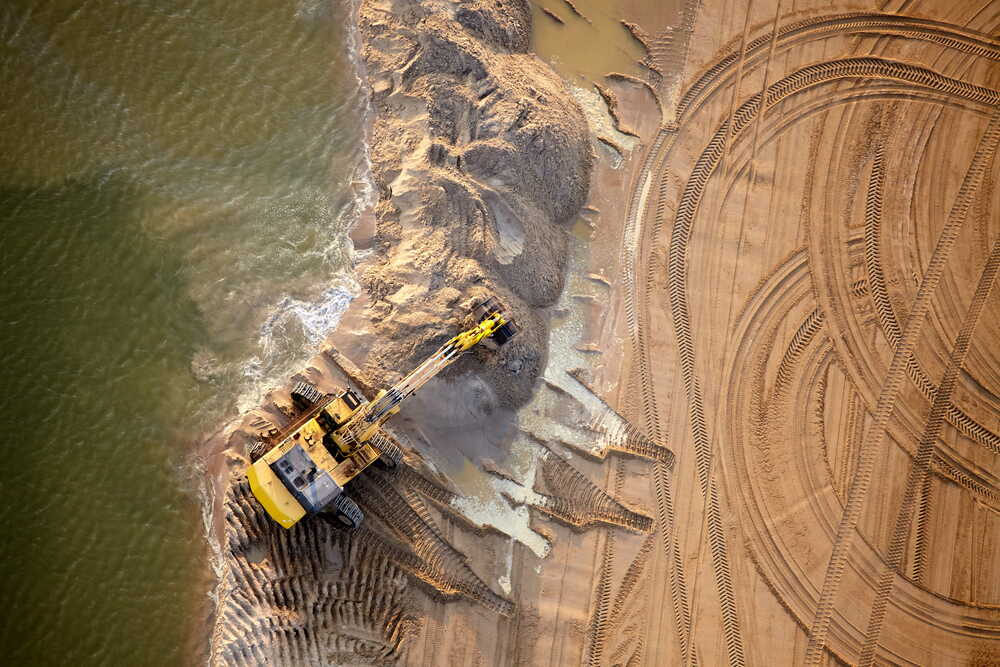
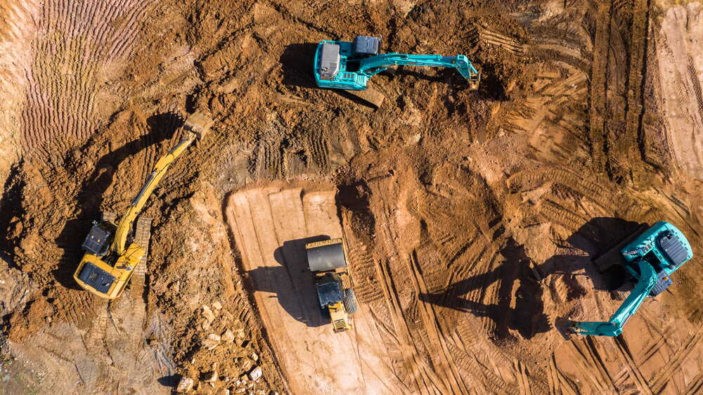
Civil Engineering
Roads, drainage, bridges, structures, earthworks and infrastructure projects requiring reliable aerial survey information.
Groundworks
Excavation, enabling works, foundations, drainage and earthworks projects where visibility and accurate reporting are essential.
Supporting Infrastructure Projects Across The UK
Our services support organisations responsible for delivering major infrastructure schemes where progress visibility, quantity verification and stakeholder reporting are important.
Highways
Road improvements, junction upgrades and transport schemes.
Utilities
Water, power, telecoms and other utility infrastructure.
Rail
Rail infrastructure, stations, depots and associated works.
Energy
Renewable energy, power generation and energy infrastructure.
Delivery Partners
Working with contractors, consultants and frameworks across the UK.
Explore More
How We Work
Discover our simple step-by-step process that turns aerial survey data into practical project intelligence.
Why Choose Us
Learn what sets Survey Drones apart and why clients choose to work with us.
Frequently Asked Questions
A drone survey uses unmanned aerial vehicles equipped with high-resolution cameras and survey-grade sensors to capture accurate aerial data of a site. The data is processed into mapping, models and reporting that support project planning, monitoring and decision making.
GET IN TOUCH
Let's Discuss Your Project
Whether you require a one-off drone survey or ongoing project reporting, we're here to help.
Ready To Get Accurate Drone Survey Data For Your Project?
Speak to our team today and discover how drone surveys can improve visibility, reduce uncertainty and support better project decisions.